Exploring the New Horizons: How Drones are Revamping Land Surveying
In today's dynamic realm of technology, drones are making a ground-breaking impact across multiple industries. Particularly in the realm of land surveying, the influence they had is nothing less than transformative.
Endowed with an exceptional ability for speedy data collection and its meticulous precision, drones are bringing new dimensions to the industry. They've birthed a new era of unprecedented efficiency and accuracy. This exploration takes you on a journey through the incredible transformative effects drones have on land surveying, and how they introduce revolutionary ways of conducting surveys.
Prepare for a dive into how these high-flying machines are pushing boundaries in land surveying. Let's discuss how their speed, precision, and advanced capabilities bring monumental changes in mapping and data collection for expansive landscapes.
Drone Technology: An Innovation in Land Surveying
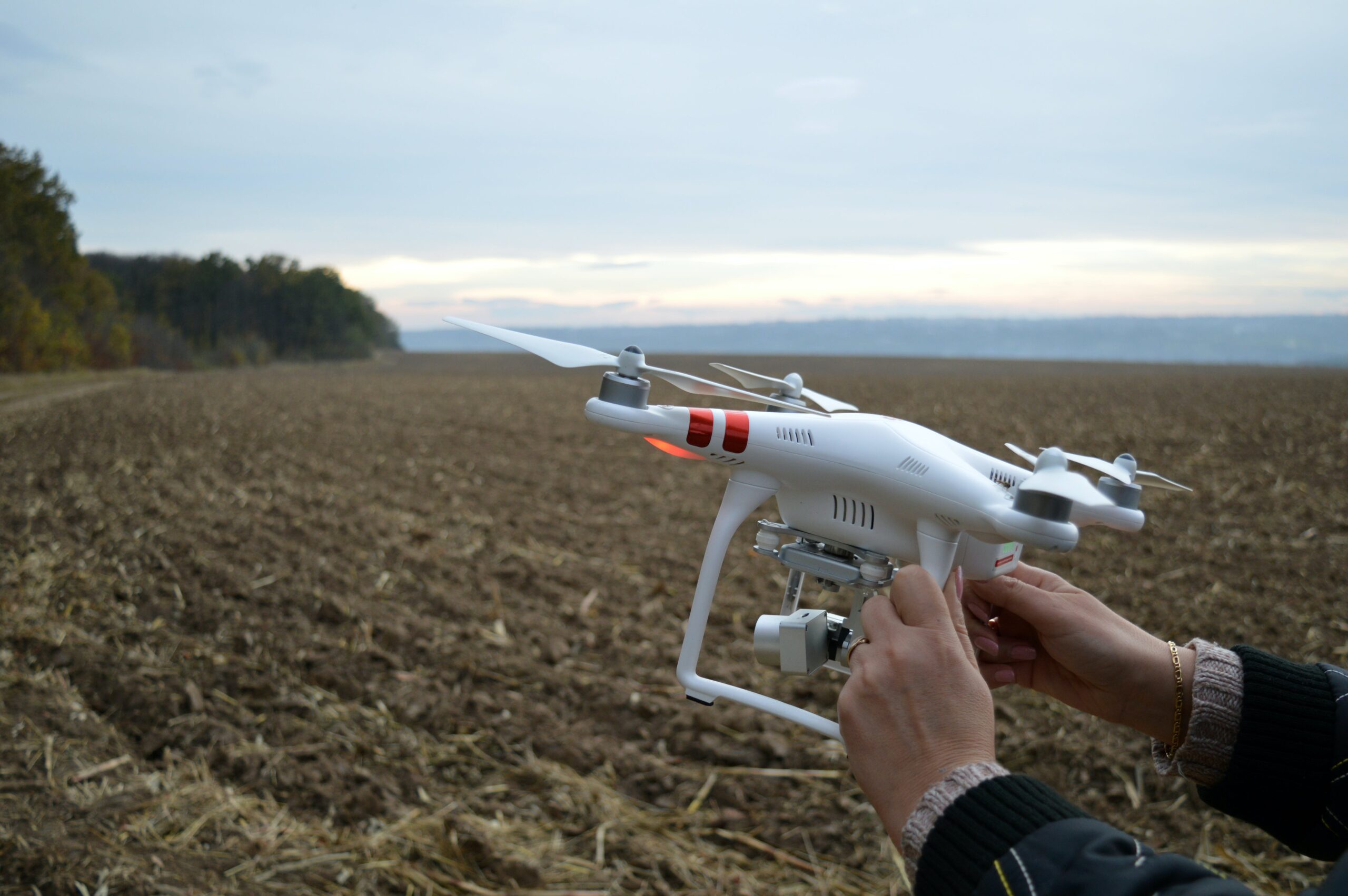
Drones: The Game Changers of Today
Drones have found their place in commercial applications quite naturally. This perfectly seamless integration marks a pivotal shift in current practices.
Land surveying is an area where drones are making a significant difference. With an awe-inspiring efficiency, these aerial marvels collect comprehensive topographical data. Their ability to fly over diverse landscapes, and capture high-definition images are transforming the field. Providing surveyors with an elevated bird's-eye view, drones unveil perspectives that were once unfathomable.
Yet, their role isn’t limited to just data collection. They're instrumental in disaster management, environmental monitoring, and urban planning. As drone regulations get more sophisticated, the potential of these devices keep expanding. This continuous evolution is paving the way for innovative solutions to longstanding challenges.
Upending the Land Surveying Landscape
With the extensive adoption of drones, there's a significant shift going on in land surveying. Long gone are the days of completely relying on ground-based measurements and manual mapping. Now, drones equip surveyors with an unparalleled level of detail and breadth.
This new epoch facilitates the surveying vast terrains in less time than ever before. Consequently, this lowers the need for a large crew and the risks affiliated with difficult terrains.
This change transcends data collection. It's reinventing how we process and interpret data. Drones empower land surveyors to provide superior results rapidly. Clients enjoy shorter turnaround times and can make well-informed decisions quickly. The evolution of land surveying is proof of the transforming power of technology.
Soaring Efficiency and Accuracy: Drones’ Gift to Land Surveying
The land surveying industry is experiencing a wave of increased efficiency and unprecedented accuracy, thanks to drones. They enable surveyors to gather extensive data sets in significantly less time compared to conventional methods.
Consider this, a drone can cover hectares of land within a day – an extraordinary feat that would take weeks to achieve on foot. The data quality acquired by drones is also unparalleled.
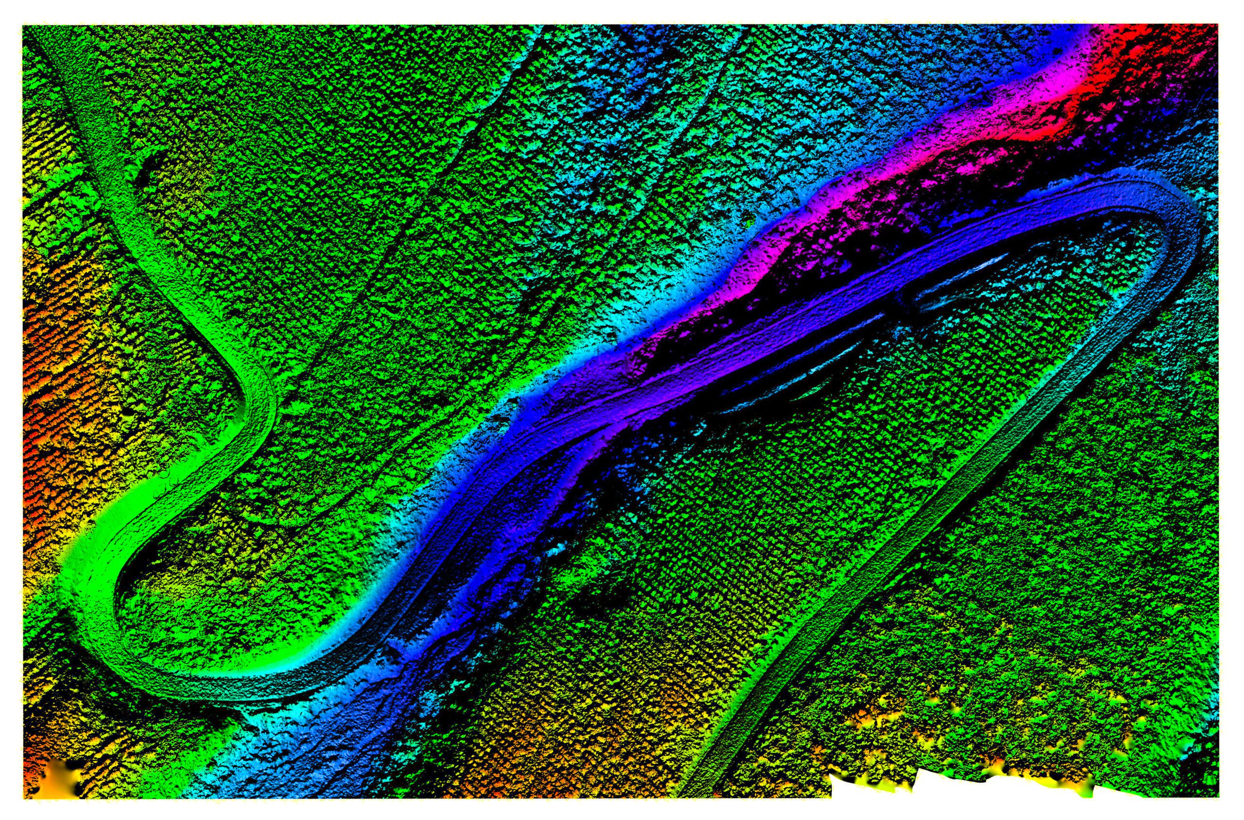
Equipped with advanced sensors and high-resolution cameras, drones construct intricate maps and 3D models. They provide surveyors and clients with an exact representation of the surveyed area, crucial for precise planning and decision-making. Drones' capability to collect exhaustive data without sacrificing accuracy is reshaping surveying into a highly effective and trustworthy practice. This transformation optimizes project workflows and results in cost savings for clients.
The Rewards of Integrating Drones in Land Surveying

Economic and Time Efficiency
Drones have substantially reduced the expenditure and time spent in land surveying. By chopping down the man-hours needed for fieldwork, they curtail labour costs and expedite project timelines.
Drones' quick deployment and all-encompassing coverage capabilities mean large-scale projects now require only a fraction of the time they once needed. This efficiency shines particularly for tasks with tight deadlines.
Additionally, drones diminish the necessity for physical surveying equipment. They effortlessly skirt obstacles like rough terrain and private properties, eliminating potential slowdowns. This, in turn, further reduces operational costs.
With these cost and time savings, clients benefit from receiving survey data quicker, helping them move to subsequent project phases swiftly. It's evident how drone technology boosts surveying services by enhancing their quality and efficiency.
Precision and Quality: The Hallmarks of Drones
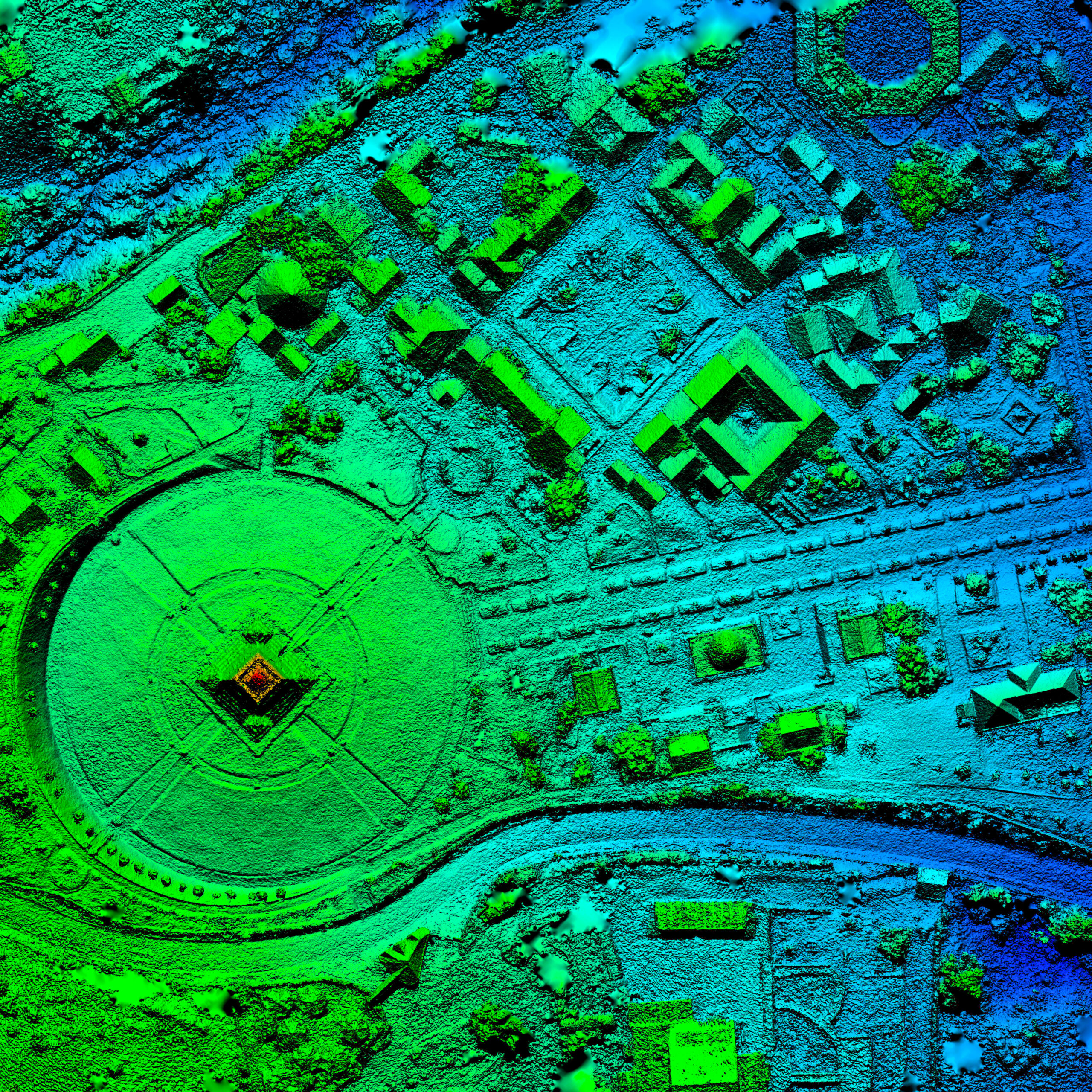
When it comes to providing top-notch, accurate data, drones are the heavyweights in land surveying. Their fusion with state-of-the-art imaging technologies like LiDAR and thermal sensors allows them to capture the minutest details of surveyed areas. This precision is invaluable. It assists in crafting intricate topographic maps, volumetric measurements, and digital terrain models.
The quality of data drones collect outshines that of traditional surveying methods. Drones nullify human error and assure encompassing coverage.
These high-resolution data sets allow surveyors to trace changes over time, evaluate environmental implications, and conduct precise infrastructure planning. Drone technology ensures that every detail of the land is carefully recorded. This guarantees a reliable basis for projects requiring precise geographic data. This meticulous detail gives surveyors the ability to deliver exceptional results, fostering trust and satisfaction among clients.
Safety and Access: Drones' Unique Advantages
Safety and accessibility take a huge leap with the employment of drones in land surveying. Drones can seamlessly access potentially dangerous or tricky places, all while keeping surveyors safe.
This feature becomes crucial when surveying areas like quarries, landslide sites, or territories with unexploded ordnance. With drones, the need for personal presence in such hazardous environments significantly decreases.
Moreover, drones can function under a variety of weather conditions and geographical landscapes. They navigate densely packed urban centres and remote rural locations with equal ease. This versatility ensures projects proceed without any delays or complications usually linked to mobilising crews into unsafe or tough terrain.
Drones' safety benefits not only protect personnel but also decrease liability and insurance expenses. These benefits underscore the significance of this technology in current surveying practices.
Drones: The Reinventors of Traditional Land Surveying Techniques
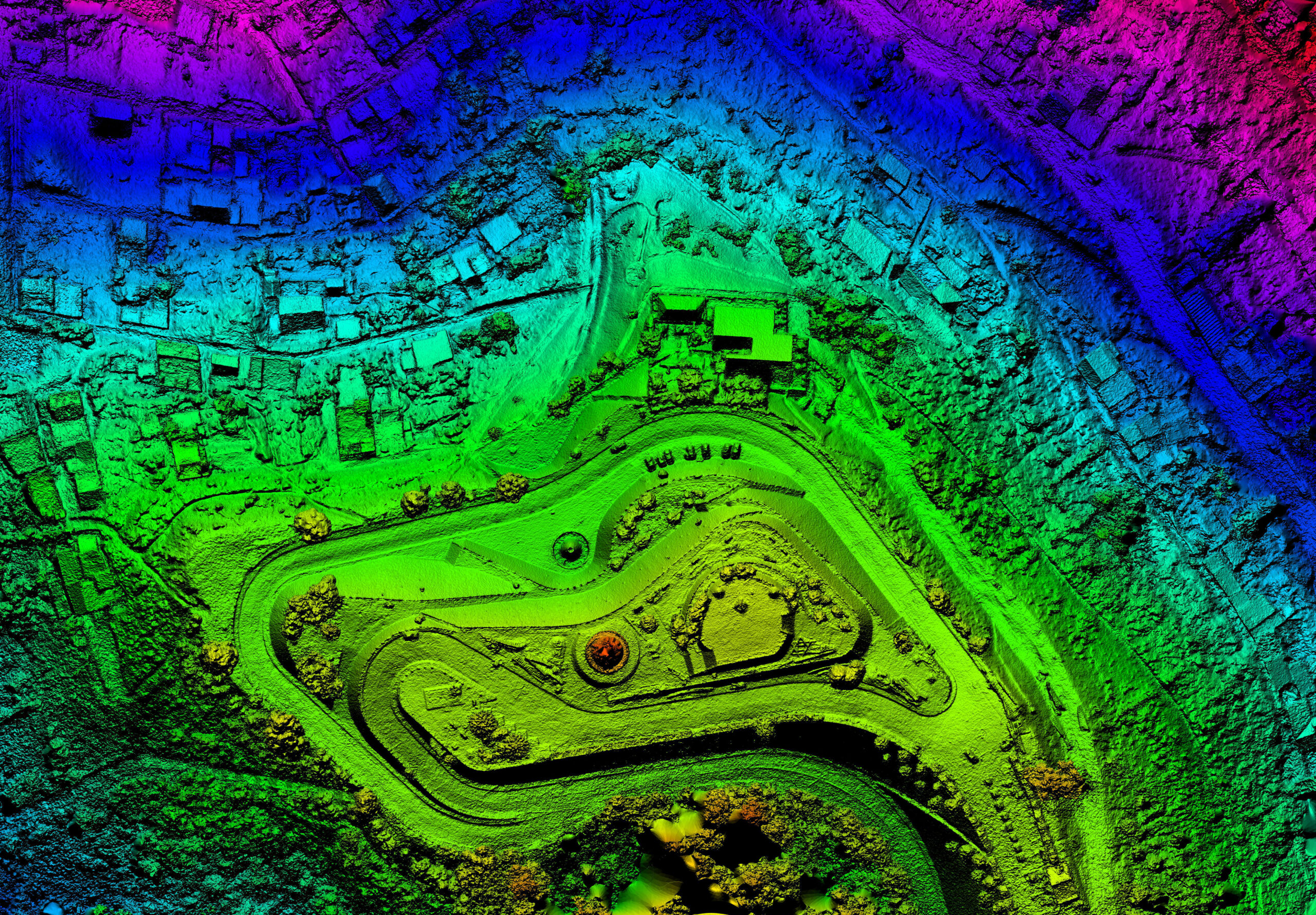
Drones vs Traditional Techniques: The Showdown
When compared to traditional land surveying techniques, the powerful assets of drone technology come to the forefront. Old-fashioned strategies often involve time-consuming procedures, like manual transit and theodolite measurements, which could be restrictive and error-prone.
On the flip side, drones afford a comprehensive aerial view. They can scan larger expanses with higher accuracy and rapidity. Surveys that might have required several days using traditional methods can now be completed by a drone in mere hours.
Also, drones can generate real-time data and images which can be instantly processed and shared, facilitating swift decision-making. This efficiency indicates more than just speed—it signifies the enhanced trustworthiness of the data collected.
By employing drones, surveyors can deliver insights that are more accurate and comprehensive, notably raising the quality of services offered to clients.
Drones: The Catalysts for Innovation
The versatility of drones has opened doors to innovative applications in land surveying. Presently, drones are being deployed to aid environmental conservation efforts, allowing surveyors to monitor wildlife habitats without any disruptions.
In agricultural land management, drones are making a profound influence. They evaluate crop health and aid in precision farming. In urban planning, drones play a pivotal role in inspecting infrastructure like bridges and skyscrapers. They deliver detailed images that facilitate maintenance and safety assessments.
Furthermore, drones are being incorporated into archaeological surveys. They capture overhead images that help uncover historical sites without the need for disruptive excavation. These cutting-edge uses highlight drones' capacity to enhance existing surveying tasks and reveal new opportunities in management of both natural and urban environments.
Advanced Capabilities: The Turning Point in Land Surveying
The sophisticated features of drone technology are flipping the script in land surveying. They provide functionalities that extend far beyond ordinary aerial photography.
Modern drones come outfitted with RTK (Real-Time Kinematic) positioning systems, providing centimetre-level accuracy in identifying locations—an integral part of creating intricate site surveys and maps.
Drones are also equipped with advanced photogrammetry software, enabling the transformation of 2D images into 3D terrain and structure reconstructions.
Another notable feature is the thermal imaging capability, enabling surveyors to detect issues like water leaks and insulation gaps, ordinarily invisible to the human gaze. The incorporation of multispectral sensors assists with plant health analyses in farming landscapes, leading to better land management decisions.
These advanced features ramp up the efficiency and accuracy of surveying work and widen the array of services professionals can offer their clients.
Gazing into the Future of Drones and Land Surveying
Anticipating Technological Advancements
The future of drones in land surveying is being shaped by the relentless advancements in technology. The emerging progress promises to boost the capabilities of drones even further.
We're on the verge of seeing drones armed with AI and machine learning algorithms. These drones will analyse the data they collect autonomously, spot patterns, and even make predictive analyses.
The assimilation of more sophisticated sensors and durable batteries will allow for broader surveys and lengthier flights, previously challenging to conduct.
Moreover, the advent of drone swarms is on the horizon. Numerous drones working in synchrony can simultaneously collect data from different angles, generating more complex and richer data sets.
These technological advancements will fine-tune the accuracy and efficiency of surveying practices and unveil new avenues for innovation in the surveying industry.
Industry Impacts
The advances in drone technology have profound implications for the land surveying industry. As drones progressively take over surveying workflows, the industry is set to become more innovative and competitive.
Companies that adopt drone technology will experience a wider array of services, faster project delivery, and added value for clients. This transition may trigger the establishment of new regulatory frameworks as governmental entities and professional organizations strive to ensure secure drone operations and individual privacy.
As this technology becomes more accessible, we might see an upsurge in freelance professionals and small businesses utilizing drones to offer specialized surveying services. The traditional roles of land surveyors are likely to evolve, requiring continuous learning and adapting to new tools and methodologies.
These shifts will mould a more dynamic and technologically advanced landscape in the land surveying industry.
Overcoming Challenges and Limitations
Despite numerous advantages, the future of drones in land surveying is not without its share of challenges and limitations. A major obstacle is ensuring that drones can operate reliably under various weather conditions, which at present sometimes hinder their efficiency.
However, improvements in drone design and materials to address this challenge are ongoing. Another limitation is the legal and regulatory framework, a factor that varies greatly by region and often lags behind technological capabilities.
It's critical for industry professionals to collaborate closely with policymakers. Collectively, they can cultivate regulations that foster innovation while preserving safety and privacy.
Moreover, there's a need for standardization in data collection and processing. This ensures consistency and reliability across different platforms and operators. By overcoming these obstacles, the land surveying industry will be able to fully harness the potential of drones and propel future growth and efficiency.
Navigating the New Generation of Land Surveyors
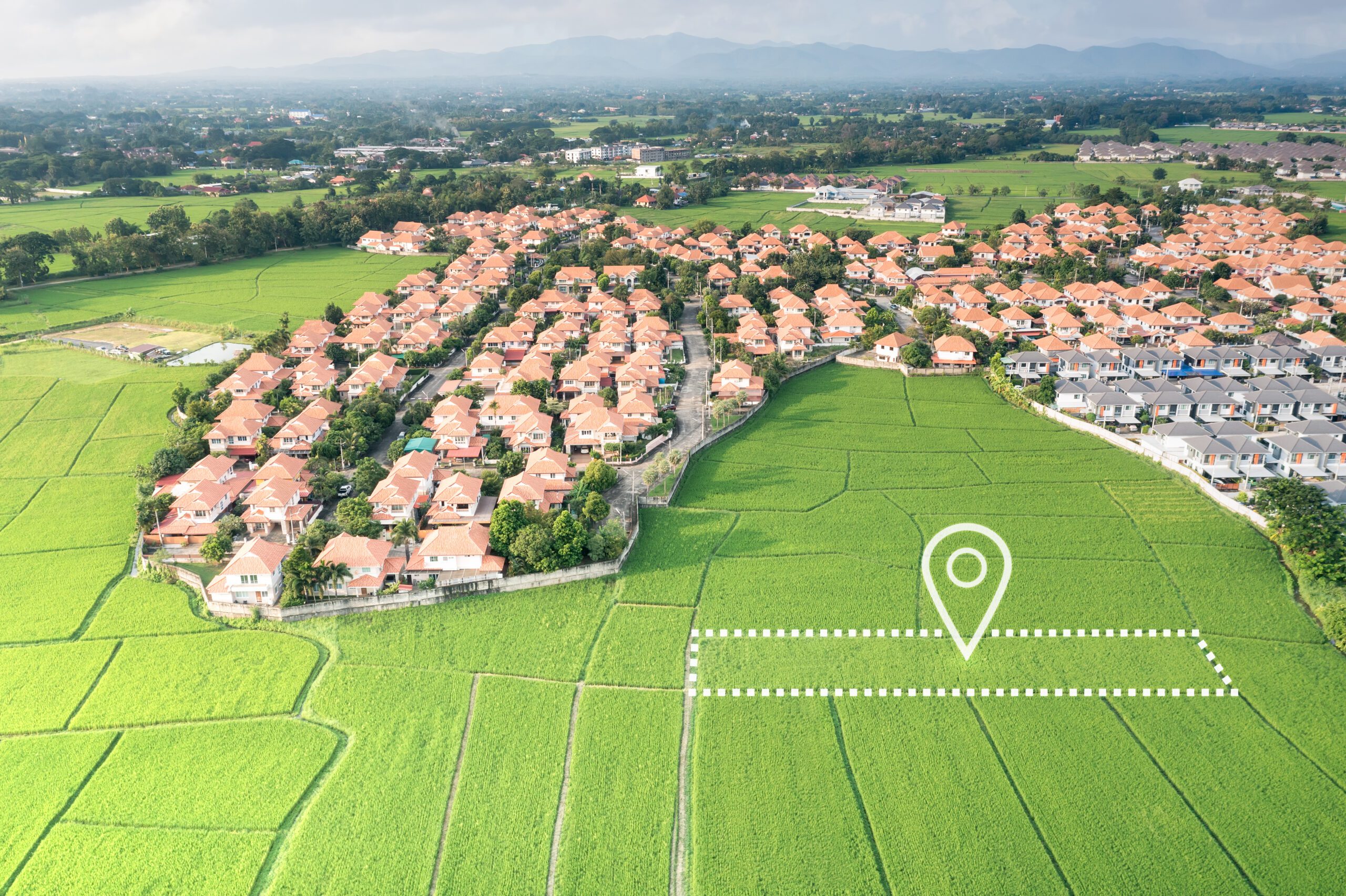
The Part Drones Play in Career Progression
Drones are significantly transforming the career trajectory of land surveyors. As the technology becomes more prevalent, professionals in the field will need to adapt and enhance their skills to remain relevant.
Mastering drone piloting and data processing are emerging as vital proficiencies for surveyors. Expertise in these areas can markedly improve career opportunities.
The ability to operate drones provides a competitive advantage, enabling surveyors to embark on projects that were previously out of reach.
Moreover, the usage of drones introduces new possibilities for innovation in surveying. This inspires a future-oriented mindset and a proactive approach towards professional development.
For novices in the field, drone expertise can lead to specialist roles and leadership positions. As the industry evolves, those who adapt to drone technology are likely to lead the pack, inspiring a new cohort of tech-savvy land surveyors.
Expanding the Surveying Skill Set
The incorporation of drones into land surveying widens the scope of skills needed within the profession.
While traditional surveying skills remain the bedrock, there is now an increased demand for expertise in drone operation, aerial data interpretation, and digital mapping.
Surveyors need to become proficient at deciphering the complex datasets that drones provide. It's crucial to understand how to process this data effectively and present it visually.
The synthesis of this new data with existing surveying knowledge improves the overall quality and breadth of surveying work, ensuring the continued growth and development of the land surveying field.