Elevating Construction Surveying Efficiency and Safety with Drones
In the realm of construction, surveying is a critical ingredient in the success and safety of projects. Traditional surveying approaches, however, come with their own set of hurdles. They can be painstakingly slow, labour-heavy, and fraught with potential dangers. Drones, as we'll discuss in this piece, are game-changing tools in the industry.
Consider this a friendly guide. We will take you on a journey through the revolutionary world of drone-assisted construction surveying. Uncover the many advantages of this modern marvel, from safer work environments and brisk data collection to impeccable accuracy in results.
The humble drone, a type of unmanned aerial vehicle, holds power that is anything but humble. Harnessing this power, construction surveyors can boost efficiency, tighten safety protocols, and ultimately skyrocket their project's success.
So strap in, and prepare to soar high. Welcome to a world of unprecedented precision and productivity - the world of drone surveys.
Unveiling Drones in Construction Surveying

An Introduction to Drone Technology
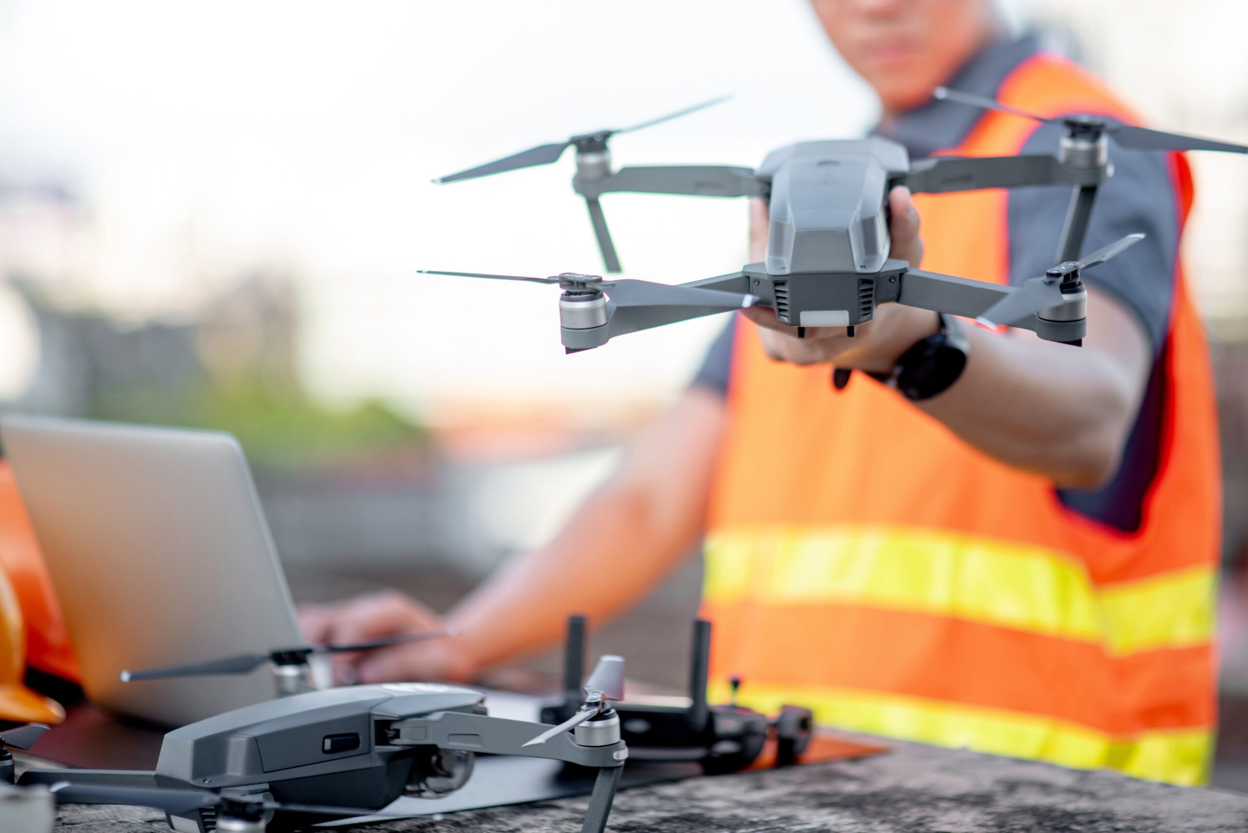
At a glance, drones, or Unmanned Aerial Vehicles (UAVs), may seem like simple flying machines. With rapid advancements in technology, however, they have emerged as trailblazers in construction surveying. Drones today come equipped with high-resolution cameras and cutting-edge sensors. These features enable them to capture detailed aerial images and create topographical maps with enviable accuracy.
But there's more. Drones can be integrated with GPS systems for precise location tracking, crucial to in-depth surveying. Regardless of terrain type and weather conditions, flying these nimble machines is a breeze. And what's even more impressive is their ability to transmit real-time data. This allows surveyors to swiftly assess and utilise critical information, fast-tracking the decision-making process. It is clear to see why drones are creating ripples in the world of construction surveying.
Drones and the Construction Industry: A Snapshot
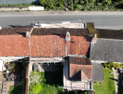
Drones are quickly becoming ubiquitous in the construction industry. They are no longer mere tools for aerial photography. Today, drones handle diverse tasks, from 3D mapping to structural inspections and progress monitoring. Armed with a bird's eye view, drones enable a comprehensive site analysis. This eliminates the risky, hard labour involved in traditional surveying methods.
Drones excel at rapidly covering large areas and reaching those hard-to-access corners. This drastically reduces reliance on manual surveys, thus offering human surveyors additional safety. Their integration is paving the way for heightened workflow efficiency and precision in construction planning and execution. As the technology continues to evolve, it's safe to expect a remarkable impact on the construction industry, setting unparalleled standards in efficiency, safety, and data accuracy.
Transforming Traditional Surveying
Unpacking Time and Cost Efficiency
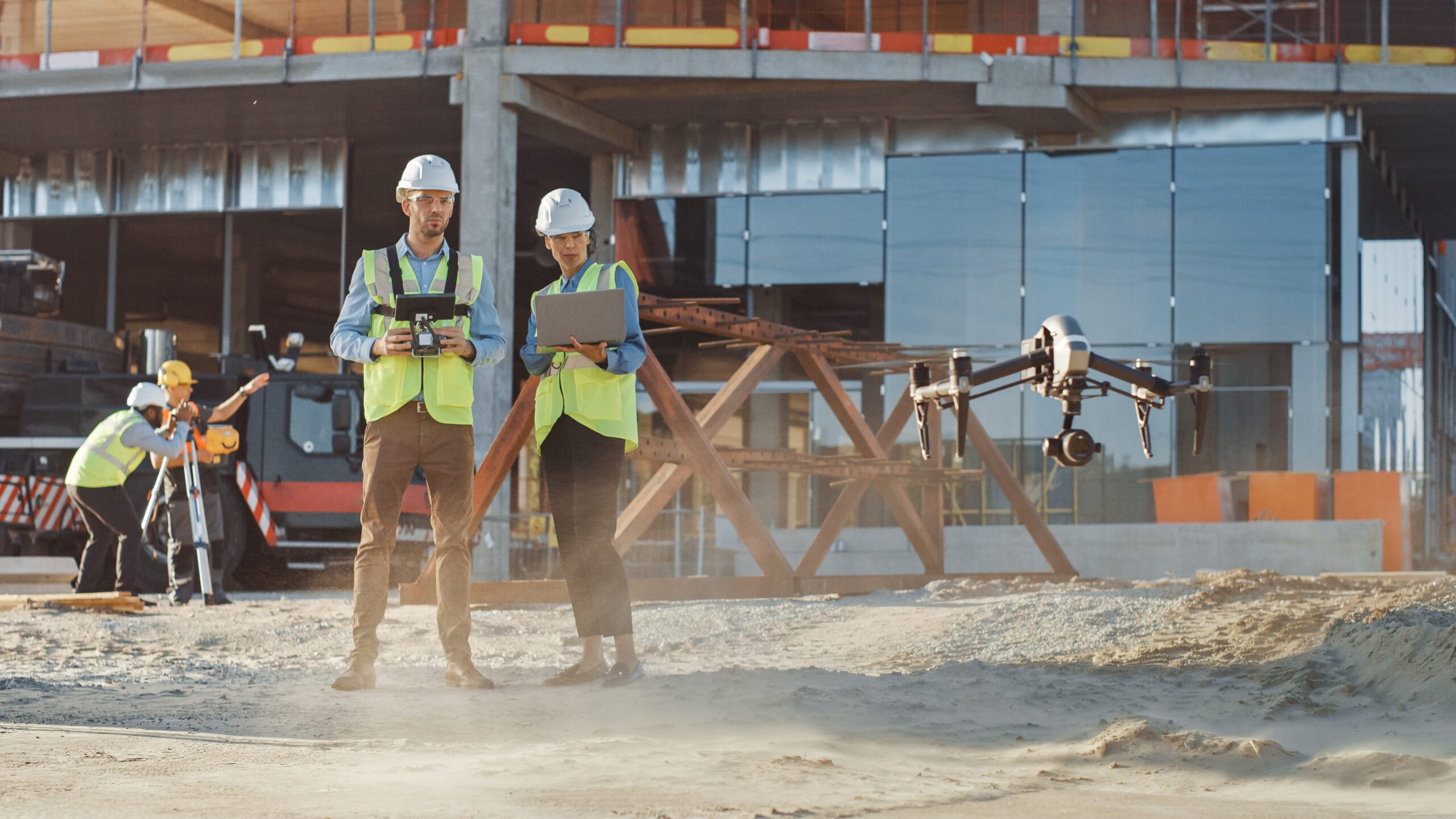
Drones are the shot in the arm that traditional construction surveying needed. By deploying drones, surveyors can compile comprehensive data in a fraction of the time consumed by ground-based survey teams. This accelerated data gathering speeds up project planning and execution, saving precious time.
Drones also cut down on manual labour and navigate obstructions swiftly, leading to cost-effective operations. Companies stand to make significant financial gains by embracing this technology. They can strategically assign resources to save thousands over a project's lifespan. And let's not forget, eliminating the need for heavy machinery and minimising environmental disruption brings its own economic rewards. Through time and cost efficiency, drones are reshaping the economics of construction surveying, giving a robust competitive edge to industry players.
Taking Accuracy and Precision to New Heights
Drones and construction are a match made in heaven, seen clearly in the improvements in data collection accuracy and precision. Drones come armed with advanced sensors. These capture high-resolution images and create accurate 3D terrain models. This level of detail equips construction teams with a deeper understanding of the site, driving superior planning and design decisions.
Drones can follow pre-programmed routes, ensuring consistent data capture—crucial for monitoring change over time. Trained software further refines the accuracy of drone-collected data by processing and analysing the imagery. By reducing human error, the final product stands a testament to drone technology's quality and reliability.
Advancing Site Safety
Drone use has given an impressive boost to safety on construction sites. Traditional surveying procedures often involve walking dangerous terrains or working at heights, posing risks to the surveying team. Drones take over the hazardous jobs, eliminating the need for humans in these danger zones and mitigating accident risks.
The real-time aerial footage drones offer helps to identify safety hazards that may not be easy to spot from ground level. Drones, thus, empower proactive safety measures. When incidents occur, drones can be deployed to assess the situation, keeping personnel safe during assessments. Proactive drone use not only protects the workforce but minimises halts due to safety breaches. Drones, it's evident, have become invaluable tools in maintaining a safe construction environment.
Revamping Construction Surveys
Frequent and Detailed Data Collection
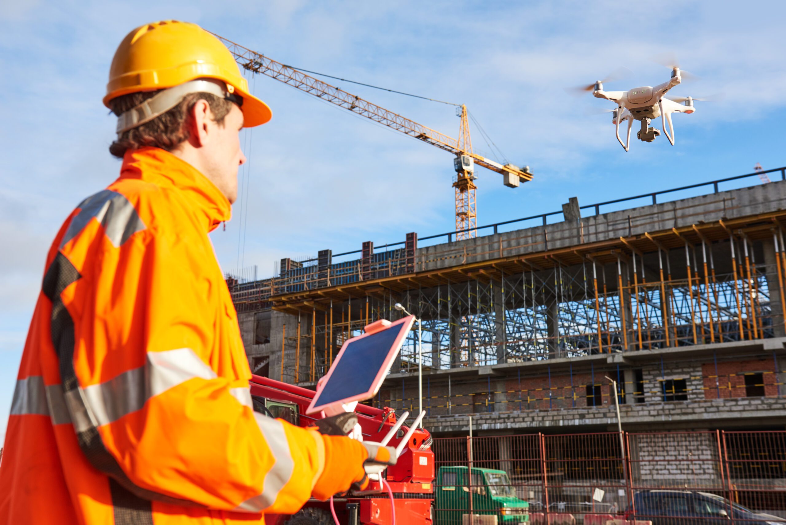
Drones turn traditional surveying on its head by offering frequent and detailed data collection. Thanks to their ability to fly over a site multiple times a day, drones provide the freshest possible information, reflecting real-time conditions. This constant stream of data is vital for tracking progress and catching issues early, allowing for prompt intervention.
Drones, equipped with high-resolution imagery and 3D modelling, provide an unprecedented level of detail. It's critical for identifying minor discrepancies that, if overlooked, could escalate into serious issues. The exhaustive documentation and analysis that drones offer foster a well-rounded understanding of the project at every stage. Regular and detailed data collection through drones is reimagining construction surveying, contributing directly to project efficiency and success.
Merging Seamlessly with Existing Systems
The significance of drones in construction surveying is amplified by their ability to meld seamlessly into existing systems. Modern drones are compatible with a variety of software platforms, making it easy to combine aerial data with other survey gadgets and technologies. Take, for instance, how drone-captured information can be fed directly into Building Information Modelling (BIM) systems. This helps manage information during a construction project more effectively.
Such integration streamlines workflows, creating a unified approach to project management and quick sharing of insights across teams. Plus, being compatible with Geographic Information System (GIS) technology, drone data enriches geospatial analysis and drives well-informed decision-making. The smooth manner in which drones align with current systems enables a more integrated and efficient construction process.
Minimising Human Error
One of the most effective ways to elevate your drone racing skills is to learn from professional pilots. These individuals have spent countless hours perfecting their craft and often share their insights through tutorials, workshops, and social media.
Attending races and observing how professionals navigate the course can give you a new perspective on strategy and technique. Notice their racing lines, how they approach turns, and their throttle management. After races, don't hesitate to ask questions. Most professional drone pilots are happy to discuss their approach and may provide you with advice that can dramatically improve your performance.
Additionally, consider joining a drone racing club or community. Here, you can find mentorship opportunities and the chance to fly alongside seasoned pilots. Their feedback can be invaluable, helping you to identify and correct mistakes that you might not have noticed on your own.
Gazing into the Future of Drone Surveying

Navigating Evolving Regulations and Standards
As drone technology becomes more ingrained in construction surveying, regulations and standards are continually evolving to safeguard privacy and safety. Governments and industry stakeholders are working on clear guidelines to dictate the where, when, and how of drone usage. These regulations intend to manage the risks associated with unmanned flights such as potential collisions with manned aircraft and the unauthorised capture of images in sensitive areas.
Standardisation, too, is progressing, aiming to harmonise the quality and compatibility of drone operations in the construction sector. The UK’s Civil Aviation Authority, for instance, continuously updates its policies to stay abreast with drone technology advancements and its expanding uses. Surveyors, hence, need to stay informed and compliant to navigate this dynamic regulatory landscape, set to shape the future of drone surveying and its innovation potential in construction.
Anticipating Technological Innovations
The future of drone surveying technology teems with promising innovations likely to further elevate construction practices. Forefront among these is the integration of artificial intelligence (AI) with drones. AI can enable smarter data analysis and autonomous operations. AI-powered drones could identify structural issues and predict maintenance needs, shifting surveying from reaction to anticipation.
Battery technology, too, is set for significant improvements. With longer-lasting batteries, drones could enjoy extended flight times and capture more data on a single charge. Advancements in sensor technology will likely elevate the precision of measurements and the quality of the imagery captured. And with the inclusion of virtual reality (VR), stakeholders might conduct immersive site visits from anywhere globally. These technological leaps look set to dramatically ramp up drones' capabilities and applications in construction surveying.
The Path to Drone Integration
Incorporating drone technology into construction surveying requires a sequence of thought-out steps. A thorough understanding of local regulations is vital, followed by obtaining the relevant certifications and permissions. Carefully choosing the right equipment—drones and sensors that meet the project's specific needs—is crucial.
Effective training is another essential step—the surveying team must be adept in operating drones and interpreting the collected data. Establishing clear protocols for data management will ensure the efficient, secure processing and storage of information. And finally, regular evaluation and adaptation pave the way for learning from each deployment and refining drone surveying processes. By following these steps, construction surveyors can smoothly transition into using drones and unleash their full potential to transform surveying practices.